Multi-layered maps for a multi-faceted view
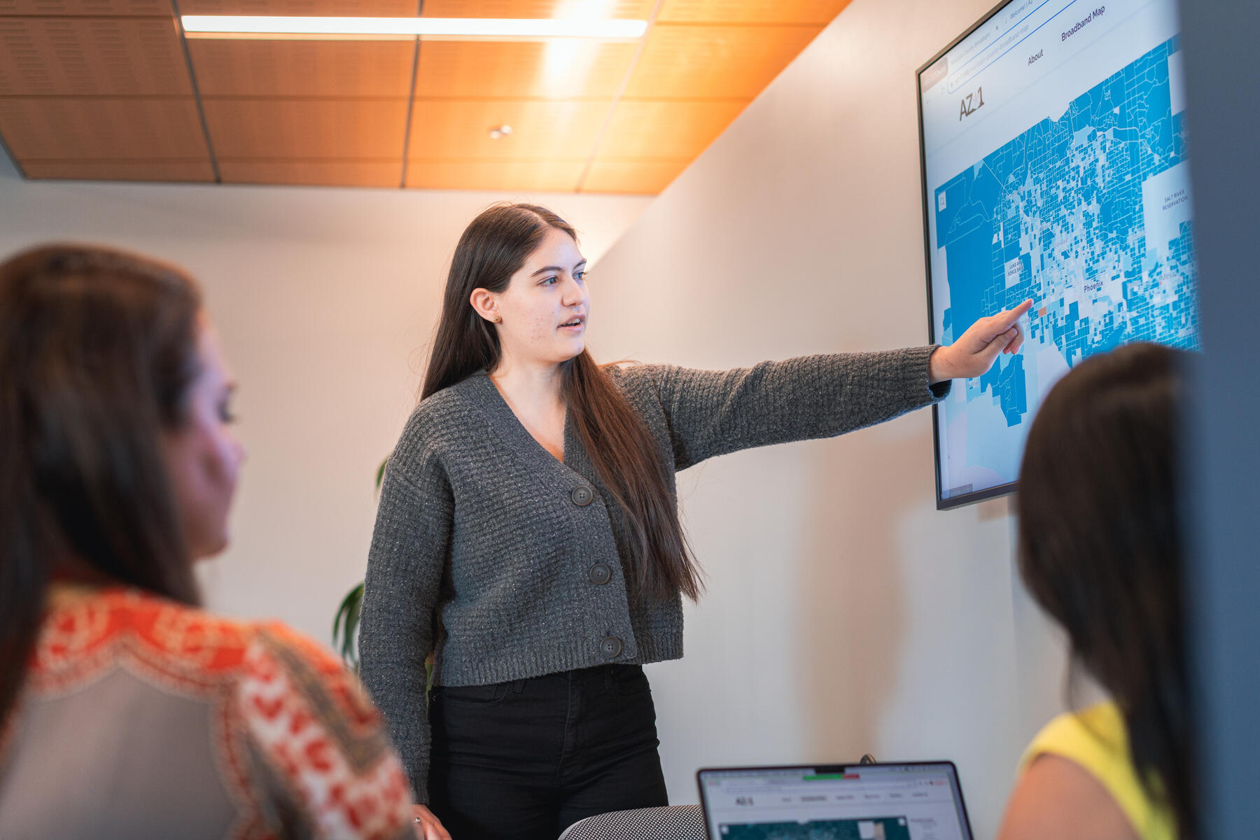
The maps are meticulously designed, layering multiple data sources to achieve a comprehensive view of broadband access in the county. Kelly Mukherjee, director of technical program management for Broadband and Digital Inclusion at ASU, and the mapping team set out to better understand broadband access.
One example included better understanding the intersection between persistent poverty and low broadband subscription rates. This revealed critical insights about areas where economic challenges might compound with digital exclusion.
“Collaborators, including Sun Corridor Network and the Digital Equity Institute, are leveraging them to strategize the expansion of broadband infrastructure and cultivate partnerships with community pillars, including libraries, educational institutions, and food distribution centers,” shared Mukherjee.
Mukherjee noted that addressing the needs of underserved communities is complex. Because the term “underserved” encompasses a broad spectrum, it doesn’t have a single definition when it comes to digital access. It can refer to a range of situations: from areas with no internet connectivity at all to regions with slow or unreliable connections, or places where broadband might be available but not affordable to most residents.
To ensure internet access accurately aligned with community needs, the map also reflects crowd-sourced speed test data from community members, using the Ookla speed test. As more participants test speeds within their households, AZ-1 will continue to capture the authentic state of connectivity.
Given this multifaceted notion of underserved communities, each layer of the broadband map provides specific insights about an area. Depending on the data sources and layers used, the maps highlight different aspects of digital exclusion.
The mapping team includes the Geographic Information System (GIS) expertise of Ciera Parkhurst, a recent graduate of ASU with deep ties to Maricopa County. “A combination of relevant datasets is more valuable than any single data source alone,” Parkurst explained.
Each layer tells its own distinct story about the nature and extent of digital disparities in a given community.
Maricopa County cities get involved
Over the past few weeks, the team has been collaborating with city leaders across Maricopa to promote the availability of the maps, generating interest and feedback.
For example, the team recently met with the City of Surprise — which has a population that’s grown five times that of what it was in the early 2000s. The City of Surprise is in the process of building a Multigenerational Community Resource Center, which aims to expand access to services like health, wellness and workforce development for local residents.
While the location of the Resource Center has been established for some time, these maps provided a new layer of understanding when it came to broadband connectivity and internet access.
Eric Fitzer, City of Surprise director of strategic initiatives, noted that the maps reinforced what the City of Surprise already knew: “The Resource Center was being built where it is needed most, which is in the heart of underserved communities. And while these maps help to reinforce this, they can also provide new data and information to support initiatives that build out broadband and wireless connectivity to support future economic development opportunities.”
The team later met with city leaders from Chandler, which is thought of as one of the more affluent communities in Maricopa.
“While we don’t really think of communities like Chandler as having persistent poverty, it does exist in the area,” noted Laura Etter, who manages government affairs for the Maricopa County Broadband Initiative. “Sometimes that perception can make it more difficult for areas like these to get support.”
Similar to the City of Surprise, Chandler used the maps to identify areas in need, layering metrics that included persistent poverty, low uptake of internet subscriptions and internet providers, to name a few.
“We are finding that these maps are helping city leaders reinforce what areas are most in need, and even better understand where gaps in broadband and connectivity exist,” shared Etter. “In addition to helping address the needs of underserved populations, the maps can also support the community as a whole, expanding future growth for economic development opportunities.”
Since the launch of the maps in late August, the team has had several engagements with local cities, including Peoria, Surprise, Chandler and Glendale, to name a few.
As Mukherjee noted, this is just a starting point. “With more cities wanting to work with us, we can continue to iterate and improve these maps and our data sources overtime. It takes the whole community coming together as one in order to make a difference.”
The double meaning of connectivity
As the Maricopa County Broadband Initiative enters its second year, ASU and its network of collaborators will continue to apply the maps towards identifying and providing tailored support for communities in need. High-speed, reliable internet connectivity for all is just the next step – and a significant foundation for what’s to come.
A holistic approach that factors in the full range of technical support and upskilling needs is vital for cultivating a digitally fluent Arizona, where every individual has the capacity to navigate our digital world. Watch this space as the initiative continues to connect Arizonans to faster broadband and greater opportunity.